
C-MAP
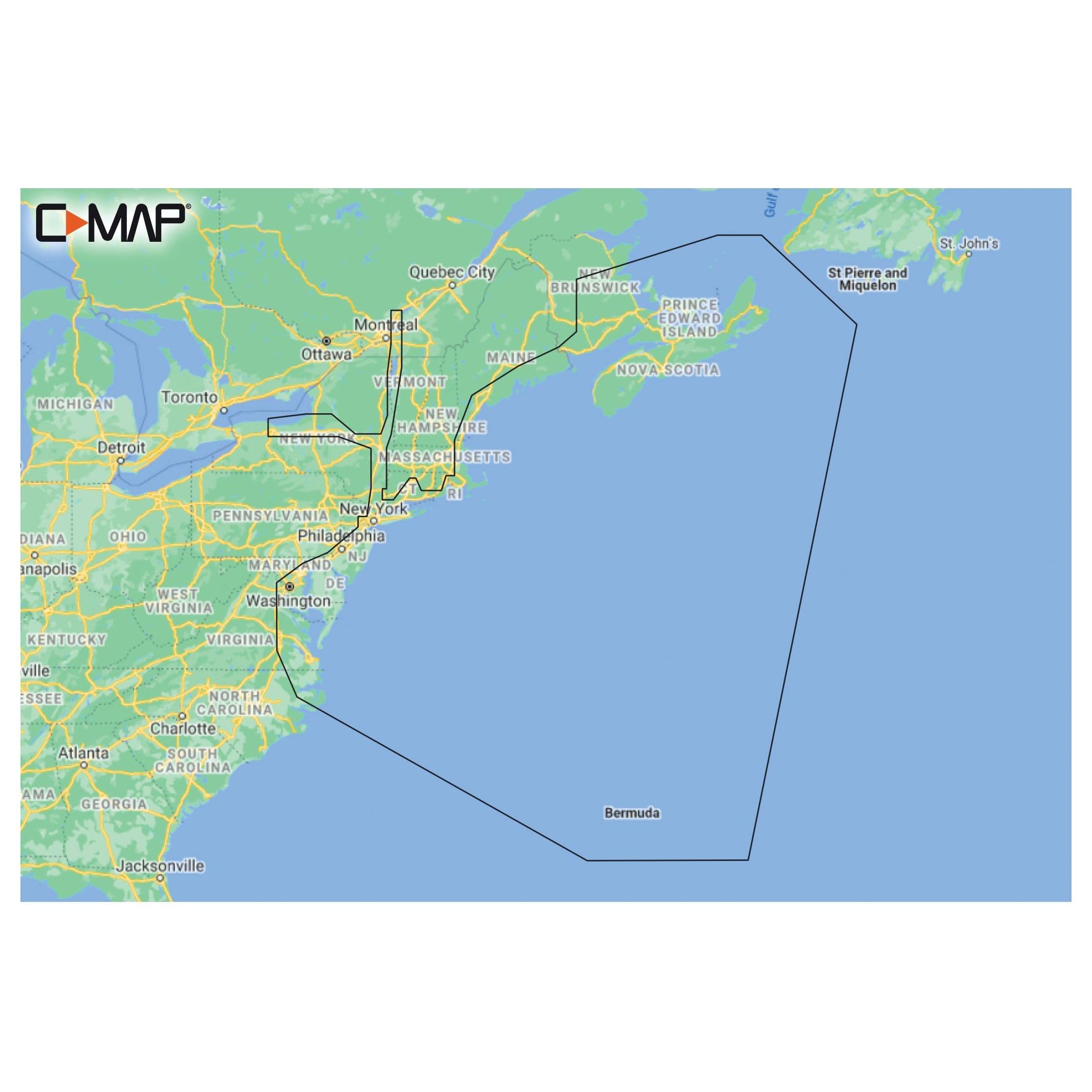
C-MAP Reveal Coastal - Nova Scotia to Chesapeake Bay
SKU: 7000700MFR #: M-NA-Y202-MSNew
$262.19
1
- Ordered in for you and shipped to your door
- Brand-new, OEM-quality part
- Questions? Call 954-584-0042
Description
Whether cruising or fishing, C-MAP REVEAL Coastal charts offer the very best of C-MAP. With Shaded Relief, including Reveal Seafloor, Aerial Photography, Satellite Overlay and Dynamic Raster Chart presentation added to the core C-MAP features found in DISCOVER - full-featured Vector Charts, with Custom Depth Shading, Tides and Currents and Easy Routing. Coastal and Seafloor Shaded Relief. High-Res Bathymetry. Subscription-Free Easy Routing. Aerial Photography. Detailed Marina Port Plans. Harbor & Approach Details. Online Updates - 12 months' free updates. Compatible with Lowrance, Simrad and B&G Chartplotters.